| |
Derived Ecosite Phase (DEP) | |
| |
|
|
| |
|
|
| | The province of Alberta is covered by a broad spectrum of vegetation regions from prairie in the South, to alpine vegetation in the mountains and dense forests in the Central and Northern parts of the province. These broad vegetation regions have been classified into six natural regions and twenty one subregions for the province (Natural Regions and Subregions of Alberta 2006). Each of the regions consists of groups of plant communities which are influenced by environmental conditions and human impacts. Intensive management of these regions requires the ability to recognize the vegetative communities that have similar productivities and respond to disturbance in the same way. These vegetative communities are highly regarded by most resource managers for their ability to provide a wide variety of benefits. They are a classic example of multiple use land, providing timber, summer range for livestock, prime habitat for many species of wildlife, productive watersheds and recreational areas.
The purpose of this dataset is to develop a framework that would easily group the ecological sites and ecological site phases using Alberta Vegetation Inventory (AVI) and LiDAR-derived datasets. Ecological site classification helps to organize our current understanding about ecosystem function. This organization is achieved by grouping research plots into similar and functional units that respond to disturbance in a similar and predictable manner. The ecological site classification system organizes ecological information into a format that facilitates understanding and provides a structure for ecologically-based management. The system has been developed primarily as a field tool to complement the user's knowledge about ecological site classification, soil description, and plant identification. The objectives of the ecological site phase classification are:
| 1. | to facilitate the application of ecological information to decisions on a wide variety of activities within the realm of land resource management; |
| 2. | to facilitate the collection and organization of information to expedite the development of resource management applications and decision support systems; |
| 3. | to promote communication among resource managers and between managers and the public; |
| 4. | to provide a common basis for integrated planning, and |
| 5. | to reduce resource management costs by integrating ecological information into the decision-making process. |
Natural subregion, ecological site and ecological site phase are the main levels of classification used in DEP and follow the Ecological Classification Hierarchy of Alberta. Attributes from ECOSYS have been added based on ecological site, ecological site phase or soil type.
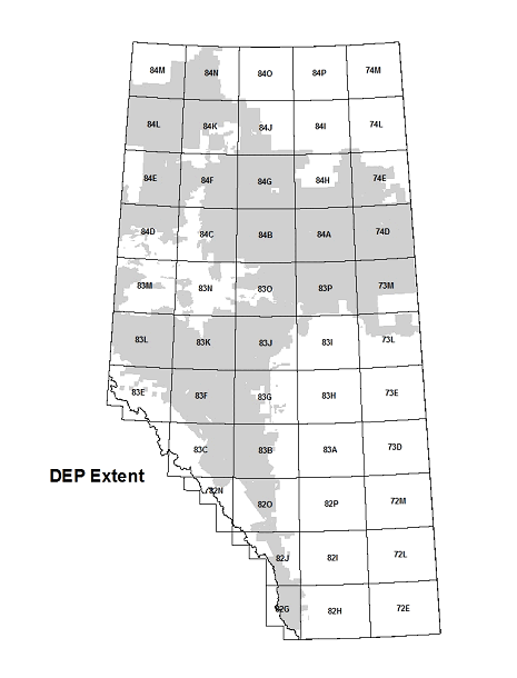
Derived Ecosite Phase (DEP) is a digital and spatial representation of ecological sites and phases in those areas of Alberta with coverage of both AVI and LiDAR.
The DEP data is stored in an Esri polygon feature class contained in a file geodatabase (FGDB). The DEP download is the property of the Government of Alberta and is available under the Alberta Open Government Licence.
The data has been compiled as a single feature class for the extent of the data. The data can be downloaded from ftp://ftp.gov.ab.ca/env/gda/. Symbology sets are available for each attribute as ArcGIS layer files. Detailed documentation of the methodology and specifications can also be found at https://open.alberta.ca/dataset/derived-ecosite-phase.
The accuracy of the mapcode and ecological site phase polygon information is only as good as the original AVI interpretation. Quality control of older AVI inventories (20+ years) did not follow the strict quality control audits of present inventories. This has led some inconsistencies in the attribution of mapcode and ecological site phase (see Section 6 of the documentation).
DEP is meant to be used in conjunction with the Ecological Site Guides produced by Rangeland Resource Stewardship Section, Land Policy Branch, Alberta Environment and Parks. The site guides are available by Natural Subregion:
Rocky Mountain Natural Region
Foothills Natural Region
Boreal Forest Natural Region
Parkland Natural Region
DEP will be updated as new information (i.e. AVI and/or LiDAR) becomes available. Information about updates, enhancements and refinements will be posted to this website.
Questions and comments can be directed to AF.DEP@gov.ab.ca. |
|
| |
|
|
| |
For more information about the content of this document, contact Bev Wilson.
This document is maintained by Stacey Tames.
This information published to the web on August 30, 2016.
Last Reviewed/Revised on July 28, 2017.
|
|